

BREAKING NEWS

Geoff Duncan Considers Gubernatorial Run as a Democrat
Atlanta, GA, August 20, 2025 News Summary Former Lt. Gov. Geoff Duncan is exploring a bid for Georgia governor in 2026 after switching from Republican to Democrat. His party switch followed...

Georgia Aquarium Introduces Mobile App for Visually-Impaired Visitors
Atlanta, GA, August 20, 2025 News Summary The Georgia Aquarium has partnered with ReBokeh Vision Technologies to launch an innovative mobile app that enhances accessibility for visually-impaired visitors. This free app...

Georgia Lawmakers Push for Complete Income Tax Elimination
Atlanta, August 19, 2025 News Summary In a significant political move, Georgia lawmakers, led by Senator Blake Tillery, are advancing a proposal to completely eliminate the state’s income tax. This ambitious...

Severe Weather Causes Disruptions at Atlanta Airport
Atlanta, GA, August 19, 2025 News Summary Hartsfield-Jackson Atlanta International Airport has implemented a ground stop until 4:15 p.m. due to severe weather and thunderstorms, resulting in significant flight delays and...

Georgia Senate Committee Considers Elimination of Income Tax
Atlanta, August 19, 2025 News Summary A special Senate committee in Georgia has convened to explore the potential elimination of the state income tax, an initiative led by Republican Lt. Gov....

Manhunt Underway for Suspect in Brookhaven Shooting
Brookhaven, Georgia, August 17, 2025 News Summary A manhunt is currently taking place in Brookhaven, Georgia, for Jose Carlos Meza Ignacio, wanted in connection with a fatal shooting at Carmel Creek...
BUSINESS

Business Profile: Sinclair Construction Group
Sinclair Construction Group has been recognized as one of the premier concrete contracting companies in Georgia’s private and public sectors for a decade. Quality workmanship, commitment to safety, and customer satisfaction...

The 10 Best SEO Companies In Atlanta, GA
Are you a business owner in the Atlanta, GA looking for a reliable SEO company to help increase your online visibility and drive organic traffic to your site? Ranking at...
Events/What's Happening

Beginner-Friendly Pottery Workshop at Scofflaw Brewing Co.
Atlanta, GA, August 19, 2025 News Summary A pottery workshop designed for beginners will be held at Scofflaw Brewing Co. in Atlanta, allowing attendees to create unique pottery pieces. Scheduled for...
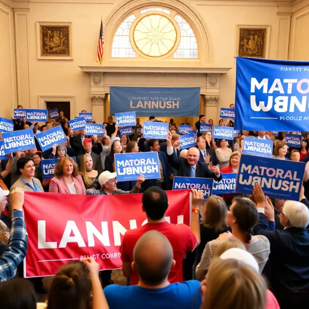
Andre Dickens Launches Reelection Campaign in Atlanta
Atlanta, August 19, 2025 News Summary Atlanta Mayor Andre Dickens has officially kicked off his reelection campaign amid the qualifying period for city council candidates. Dickens, who achieved a significant decrease...

Vice President JD Vance Promotes Tax Cuts in Peachtree City
Peachtree City, Atlanta, August 19, 2025 News Summary Vice President JD Vance is set to visit Peachtree City to advocate for President Trump’s proposed tax cuts aimed at working-class families. His...

Community Mourns the Loss of Charles Edward McCormick
Marietta, GA, August 19, 2025 News Summary Charles Edward McCormick, a 39-year-old resident of Marietta, passed away at Piedmont Hospital in Atlanta. Known for his vibrant spirit and love for family...

Wine vs. Beer Culinary Showdown at Tio Lucho’s
Atlanta, GA, August 19, 2025 News Summary Tio Lucho’s in Atlanta is hosting a Wine vs. Beer Culinary Showdown on August 27. Guests can enjoy five Peruvian-inspired courses paired with wine...

Umphrey’s McGee Announces New Year’s Eve Concerts in Atlanta
Atlanta, GA, August 19, 2025 News Summary Umphrey’s McGee will celebrate New Year’s Eve with a two-night concert event at The Tabernacle in Atlanta. Each night will feature three sets and...

Atlanta Hosts Community Bike Ride to Promote Local Pride
Atlanta, GA, August 18, 2025 News Summary Atlanta will hold a community bike ride on August 22, organized by the Russell Innovation Center for Entrepreneurs. The event encourages movement and connection...

ATL Jewish Film Expands Programming and Focuses on Community Engagement
Atlanta, GA, August 17, 2025 News Summary The Atlanta Jewish Film Festival has rebranded to ATL Jewish Film, expanding its programming beyond the annual festival to include year-round initiatives. Emphasizing education...

Atlanta’s Cultural Revival Fueled by K-Pop Demon Hunters
Atlanta, GA, August 17, 2025 News Summary Atlanta, Georgia, is experiencing a cultural resurgence largely driven by the Netflix film K-Pop Demon Hunters. The film’s themes resonate with younger audiences, sparking...
CRIME
Manhunt Underway for Suspect in Brookhaven Shooting
Brookhaven, Georgia, August 17, 2025 News Summary A manhunt is currently taking place in Brookhaven, Georgia, for Jose Carlos Meza Ignacio, wanted in connection with a fatal shooting at Carmel Creek...

Tragic Accidental Drowning Claims Life of 4-Year-Old in Atlanta
Atlanta, August 16, 2025 News Summary A 4-year-old girl has died in an accidental drowning incident at her home in Atlanta. First responders found her in critical condition at approximately 2:40...
Atlanta Police Search for Missing Children Brooklyn Reeves and Taylen Boykins
Atlanta GA, August 15, 2025 News Summary Atlanta police are actively searching for two missing juveniles, Brooklyn Reeves, 10, and Taylen Boykins, 9, who were last seen leaving their home. Brooklyn’s...

Shooting Investigation in Southeast Atlanta
Southeast Atlanta, August 12, 2025 News Summary Police are investigating a shooting in southeast Atlanta that left a 30-year-old man dead. The incident occurred late at night on Englewood Avenue SE,...

Recent Shootings Raise Safety Concerns in Midtown Atlanta
Midtown Atlanta, August 12, 2025 News Summary Midtown Atlanta has witnessed two alarming shooting incidents, one at the Crest at Peachtree apartment complex and another on Peachtree Street. Residents express heightened...

Atlanta Rapper T-Hood Shot and Killed in Snellville
Snellville, Georgia, August 11, 2025 News Summary Tevin ‘T-Hood’ Hood, a prominent Atlanta rapper, was shot and killed during a home dispute in Snellville. The 33-year-old succumbed to his injuries after...
POLITICS
Geoff Duncan Considers Gubernatorial Run as a Democrat
Atlanta, GA, August 20, 2025 News Summary Former Lt. Gov. Geoff Duncan is exploring a bid for Georgia governor in 2026 after switching from Republican to Democrat. His party switch followed...
Georgia Lawmakers Push for Complete Income Tax Elimination
Atlanta, August 19, 2025 News Summary In a significant political move, Georgia lawmakers, led by Senator Blake Tillery, are advancing a proposal to completely eliminate the state’s income tax. This ambitious...
Georgia Senate Committee Considers Elimination of Income Tax
Atlanta, August 19, 2025 News Summary A special Senate committee in Georgia has convened to explore the potential elimination of the state income tax, an initiative led by Republican Lt. Gov....

Atlanta Named Third Best City for Tree Huggers
Atlanta, GA, August 17, 2025 News Summary Atlanta has gained recognition as the third-best city for tree conservation enthusiasts in Lawn Love’s recent report. The city earned high scores in tree...
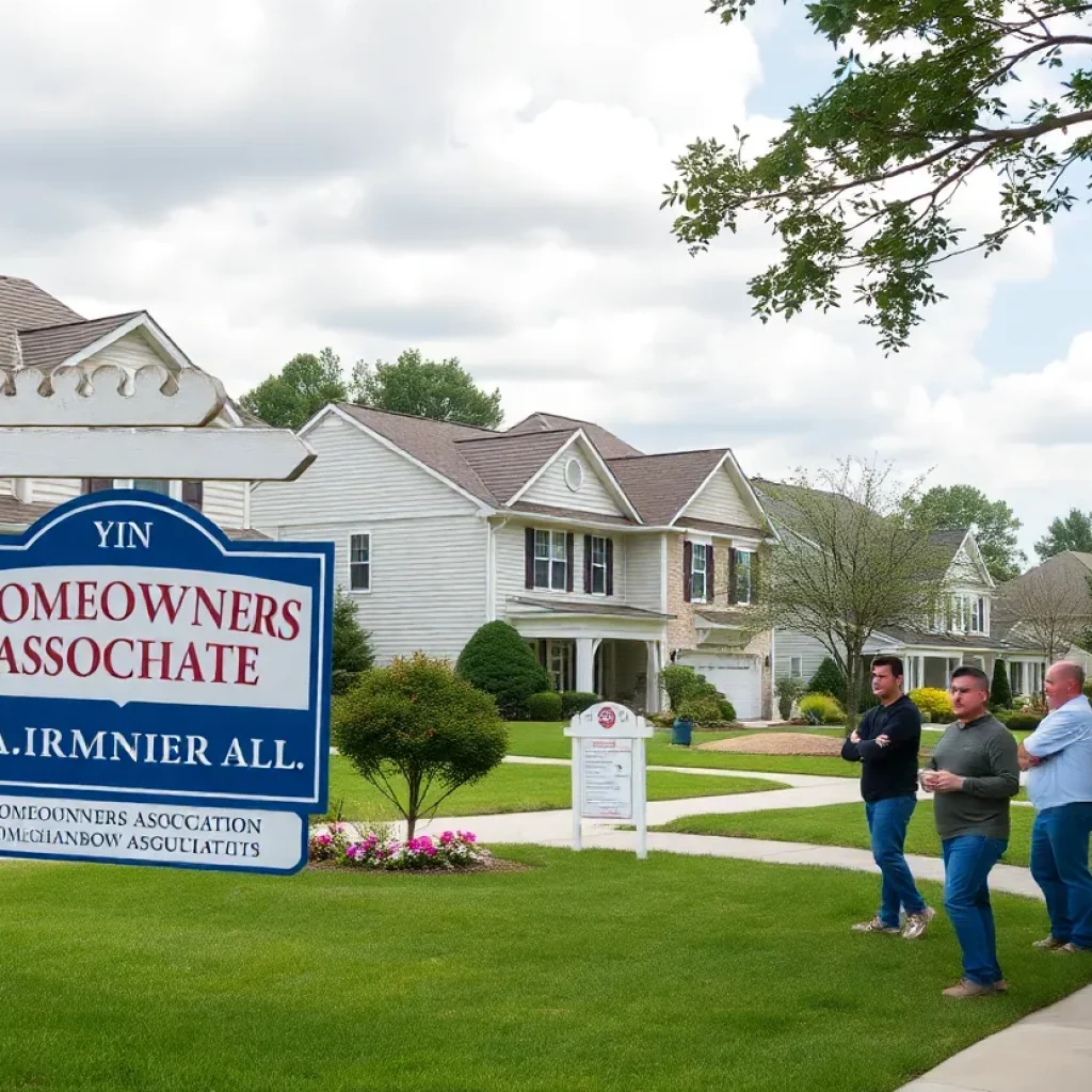
Residents of Channing Cove Face HOA Struggles
Fairburn, Georgia, August 17, 2025 News Summary Homeowners in Channing Cove, Fairburn, Georgia, are facing increasing fines and communication issues from their HOA. A civil lawsuit has been initiated against the...

Georgia’s Voting Legislation Controversy Ignites Debate
Atlanta, August 16, 2025 News Summary The political climate in Georgia intensifies as the DOJ drops its lawsuit against the controversial S.B. 202 voting law. Advocates raise concerns over the law’s...
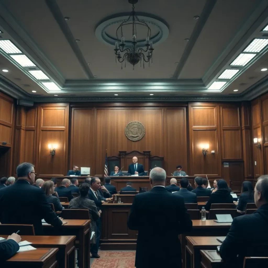
Christopher Wolfenbarger on Trial for Wife’s Murder
Atlanta, Georgia, August 15, 2025 News Summary The trial of Christopher Wolfenbarger for the murder of his wife, Melissa, who disappeared in 1998, is underway in Atlanta. The case has drawn...

Shooting at CDC Headquarters Sparks Gun Law Debate in Georgia
Atlanta, August 13, 2025 News Summary A tragic shooting incident at the Centers for Disease Control and Prevention (CDC) in Atlanta has led to the death of a police officer and...

DeKalb County Police Officer Killed in Active Shooter Incident
Atlanta, GA, August 9, 2025 News Summary A tragic shooting incident occurred near the CDC Atlanta campus, resulting in the death of DeKalb County police officer David Rose. The shooter, Patrick...
SPORTS
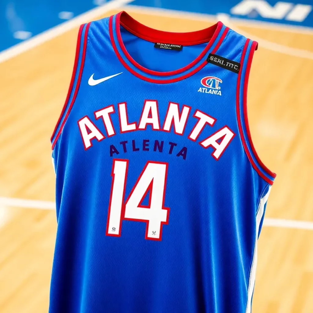
Atlanta Hawks Reveal New City Edition Uniforms
Atlanta, August 11, 2025 News Summary The Atlanta Hawks have introduced their new City Edition uniforms for the NBA season, titled NBA Fly City Edition 2.0. These jerseys feature a striking...
Kirk Cousins’ Future with Atlanta Falcons in Question
Atlanta, Georgia, August 10, 2025 News Summary Kirk Cousins’ position with the Atlanta Falcons appears uncertain after Easton Stick’s impressive preseason debut. Although not traded, Cousins did not play in the...

Water Leak Causes Partial Ceiling Collapse at Atlanta Airport
Atlanta, August 5, 2025 News Summary A water leak at Hartsfield-Jackson Atlanta International Airport prompted a swift response from officials after water poured from the ceiling near Gate T11, leading to...

Severe Storms Cause Destruction in Metro Atlanta
Atlanta, July 31, 2025 News Summary A series of severe storms impacted metro Atlanta and north Georgia, leading to over 150,000 power outages, flight delays, and even a fatality. Heavy rainfall...

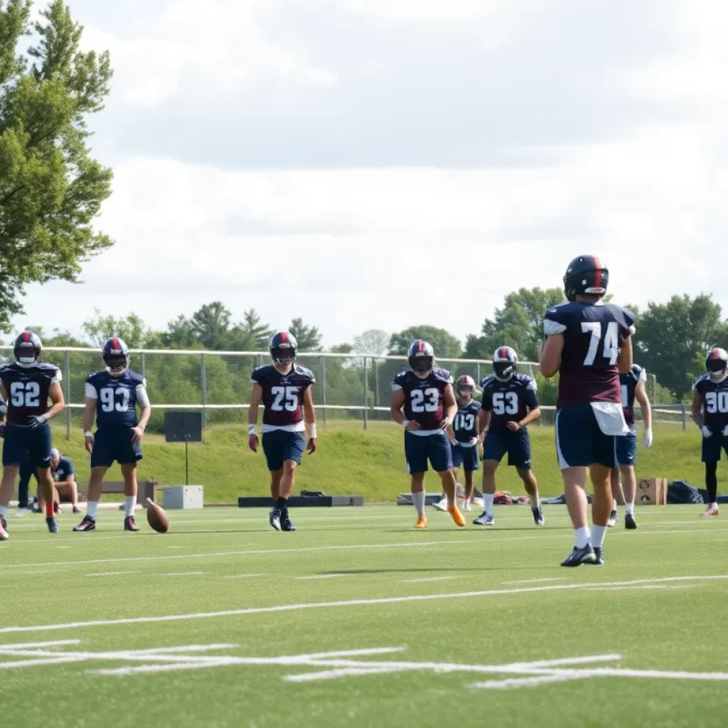
Drake London Emerges as Key Player for Atlanta Falcons
Atlanta GA, July 30, 2025 News Summary Drake London is proving to be an essential asset for the Atlanta Falcons during training camp. With a background in basketball and impressive physicality,...

Texas Rangers Intensify Trade Efforts Ahead of Deadline
Arlington, July 27, 2025 News Summary The Texas Rangers are striving to enhance their roster as they sit above .500 with a record of 56-50. Recently showing strong form, they have...

Atlanta United Suffers Disappointing Loss to Charlotte FC
News Summary Atlanta United faced a tough setback with a 3-2 loss to Charlotte FC at Mercedes-Benz Stadium. This defeat extended their winless streak to seven matches, sparking concerns about...

Kirk Cousins Disappointed Over Falcons’ Draft Decision
News Summary Kirk Cousins expressed disappointment after the Atlanta Falcons drafted rookie quarterback Michael Penix Jr. shortly after signing a $180 million contract. Cousins feels misled by the team, especially...

Tragic Incidents and Weather Challenges in Georgia
News Summary A series of tragic incidents have occurred in Georgia, including child safety concerns with children left in hot cars, boating and road tragedies, and violent confrontations. Additionally, a...